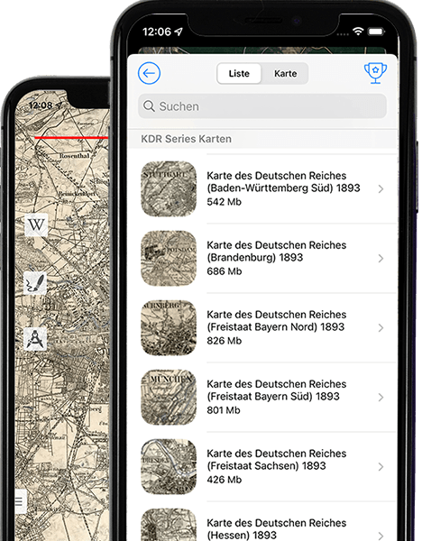
Now all the necessary historical maps of counties and provinces in your smartphone.

Vetus Maps is a valuable tool for historians, researchers, and anyone interested in the history of a particular area. The app makes it easy to access and view historical maps on your smartphone, and allows you to overlay them on top of modern maps to see how the landscape has changed over time. With Vetus Maps, you can easily compare historical and modern maps, and collaborate on research or share your findings. Vetus Maps can help to shed light on the history of a region and make it easier to locate historical sites and landmarks.
A considerable number of different objects are indicated on historical maps, which allows them to be used as the most valuable source of data on toponymy.
Even in our time, many years later, with the help of historical maps, one can quite confidently navigate the countryside.
The application is available for free download in the App Store and Google Play.
This app was created specifically for lovers of history and cartography, its main features:
Large numbers of historical maps available for download
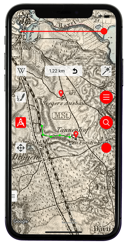
The historical map is transparently overlaid on top of the modern one (satellite, hybrid or relief)
Possibility to correct georeferencing by landmarks

Possibility to mark interesting places on the map
Ability to record tracks and routes for later study
Ability to export markers and tracks in KML format
The application is available for free download in the App Store and Google Play.
Screenshots of the Vetus Maps application
The application is available for free download in the App Store and Google Play.